Currently Empty: $0,00
QL-SlopeGuard XR-300 – Advanced Slope Stability Radar for Landslide Detection & Early Warning
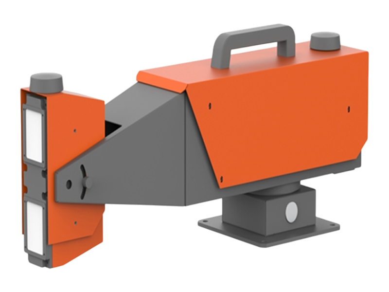
The QL-SlopeGuard™ XR-300 is a high-precision, all-weather slope stability radar designed for real-time landslide and geohazard monitoring. Using advanced SAR and interferometry, it provides 360° coverage and sub-millimeter deformation detection with ultra-low power consumption. Ideal for long-term, unmanned monitoring of slopes, mines, dams, and critical infrastructure.
OVERVIEW
Description
Advanced Slope Stability Radar for Landslide Detection & Early Warning
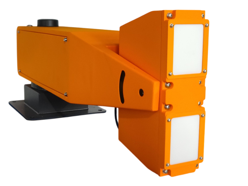
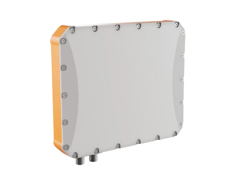
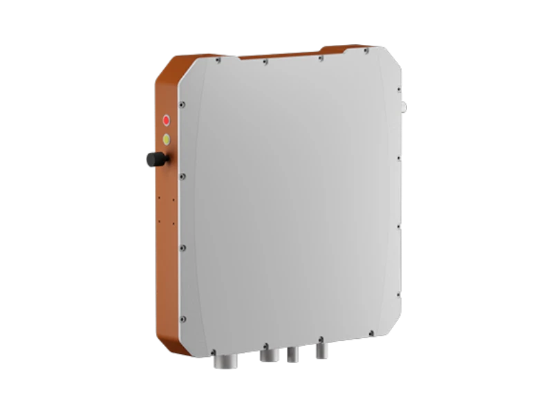
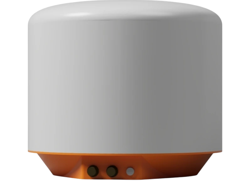
The QL-SlopeGuard™ XR-300 is QuakeLogic’s state-of-the-art slope stability radar built on synthetic aperture radar (SAR) imaging and interferometry / differential interferometry technologies. Engineered for both emergency deployment and long-term geohazard monitoring, it delivers sub-millimeter deformation accuracy, 360° coverage, and all-weather performance—without requiring a protective monitoring shelter.
Designed for continuous unattended operation, the XR-300 is ideal for landslide-prone terrain, collapses, rockfall zones, dams, mines, water conservancy facilities, and critical infrastructure where early detection of tiny ground movements is essential for safety and risk mitigation.
With ultra-low power consumption, multi-platform connectivity, and a built-in variable-focus inspection camera, the system enables precise, real-time monitoring of deformation across complex geological bodies.
Why Choose QL-SlopeGuard™ XR-300?
-
True sub-millimeter deformation detection
-
All-weather Ku-band technology
-
360° scanning with no blind spots
-
Fully autonomous, ultra-low-power design
-
Edge processing for real-time accuracy
-
Easy deployment — no shelter required
-
Rugged, field-ready, and built for extreme conditions
Features
Key Features
1. Wide Applicability
Perfect for both rapid emergency response and long-term deployment in areas susceptible to geological disasters such as landslides, collapses, and cave-ins.
2. All-Weather, All-Day Monitoring
Ku-band radar penetration enables continuous scanning unaffected by rain, snow, fog, smoke, dust, or firelight, ensuring reliable operation in the harshest field environments.
3. No Monitoring House Required
The rugged IP65-rated outdoor enclosure withstands heavy wind, rain, dust, and snow. No protective cabin or shelter is necessary.
4. Adaptive Atmospheric Compensation
Integrated atmospheric correction algorithms eliminate long-term atmospheric disturbance effects, maintaining high accuracy over months or years.
5. Full 360° Coverage With No Blind Spots
Advanced arc imaging combined with continuous-wave radar provides complete 360° azimuth coverage and long-range detection without angle or distance blind zones.
6. 24/7 Autonomous Operation
Designed for unmanned, continuous scanning, supporting solar, battery, or grid power with ultra-low consumption.
7. 3D Data Fusion
Sub-meter-level 3D registration enables fusion of radar and optical data for comprehensive spatial awareness.
8. Integrated Visual Inspection Camera
A variable-focus camera captures images of critical areas for visual verification of radar-detected anomalies.
9. Automatic Alerting
Real-time automated detection, classification, and alerting ensure timely warnings without human intervention.
10. Rugged IP65 Protection
Operates reliably in temperatures from –20°C to +55°C (optional –40°C). Built for long-term outdoor deployment.
SPECIFICATIONS
Technical Specifications
| Description | Parameter |
|---|---|
| Operating frequency band | Ku |
| Maximum monitoring distance | ≥ 800 m |
| Coverage angle | 360° (or set sector) × 40° elevation |
| Deformation accuracy | ≤ 0.5 mm |
| Distance resolution | ≤ 0.3 m |
| Azimuth resolution | ≤ 9 mrad |
| Data acquisition cycle | ≤ 1 min |
| Elevation adjustment | ≥ ±45° |
| Data upload cycle | 1 min – 24 h (configurable) |
| Power consumption | ≤ 20 W |
| Total device weight | ≤ 5.5 kg |
| Maximum radar body size | ≤ 0.6 m |
| Operating temperature | –20°C to +55°C |
| Protection level | IP65 |
| Communication | Built-in 4G (optional) + wired Ethernet |
| Processing | Full edge computing—no workstation required |
APPLICATIONS
Applications
The QL-SlopeGuard™ XR-300 is suitable for:
Emergency Response
-
Landslide rescue scenes
-
Collapses & cave-ins
-
Post-earthquake safety assessment
-
Rapid deployment for unstable slopes
Long-Term Monitoring
-
Landslide-prone slopes & hillsides
-
Rockfall hazard zones
-
Highway & railway cuttings
-
Mines & open pits
-
Dams & water conservancy structures
-
Buildings & infrastructure at geohazard risk points
The system provides continuous, high-precision monitoring and timely warnings, reducing risks to personnel, machinery, and infrastructure.
WHAT'S INCLUDED
Included in the System
-
QL-SlopeGuard XR-300 Radar
-
Inspection camera module
-
Power and communication cables
-
Mounting hardware
-
Monitoring & analysis software (lifetime license)
-
Free software updates
-
Remote training & technical support
-
1-year warranty (extendable)